System Architecture of Agricultural Drones: A Comprehensive Analysis from Hardware to Intelligence
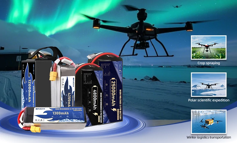
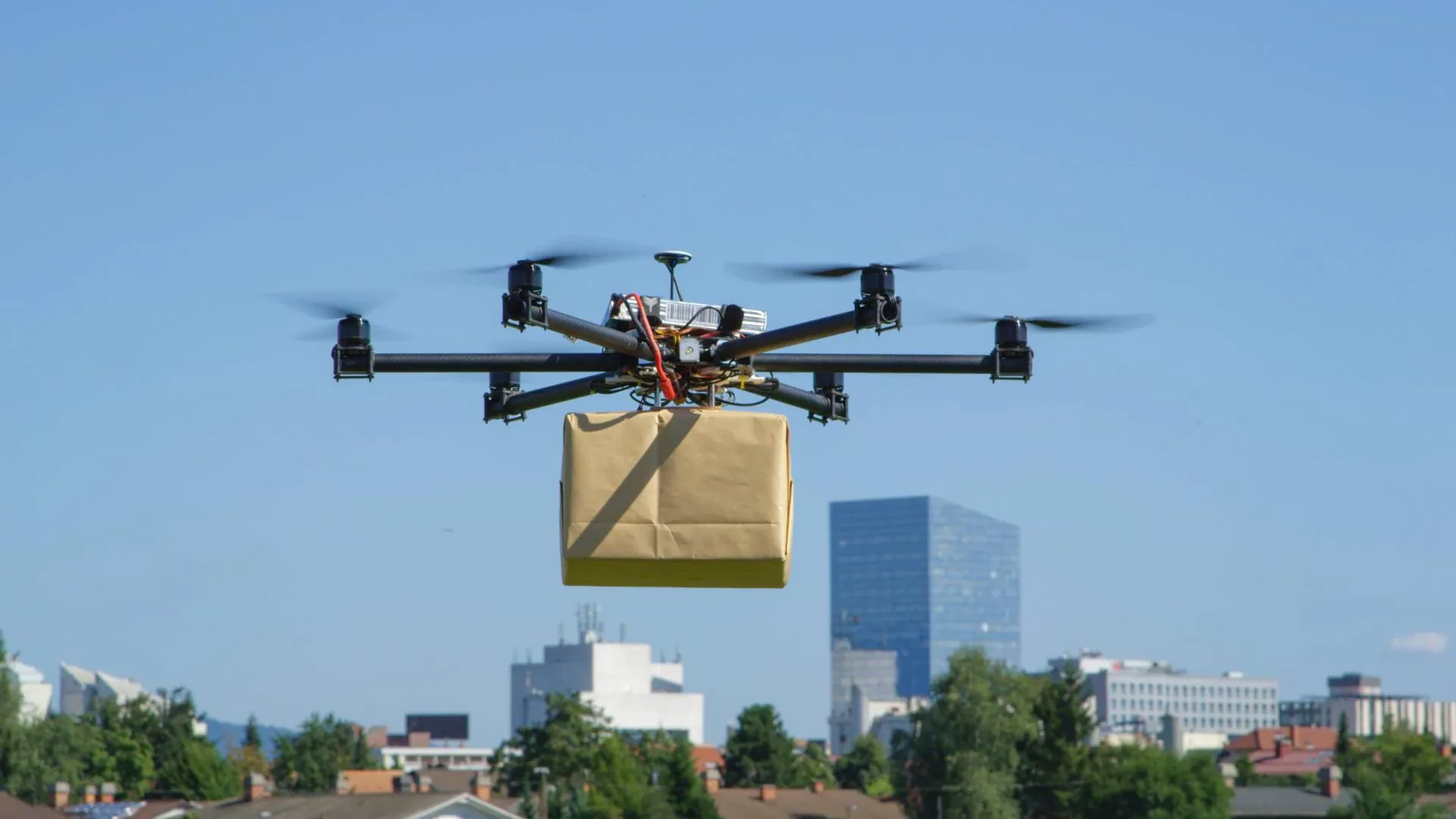
ENOV High-Energy drone batteries power industrial and commercial drones. Delivering 220–320 Wh/kg energy density, they enable long flight times (30+ mins) and support fast charging (2C). Perfect for aerial photography, surveillance, and delivery drones.
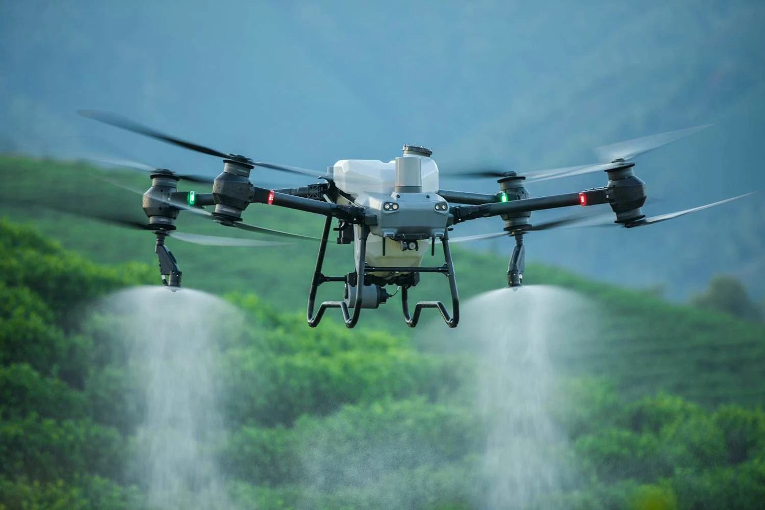
Agricultural drones, as vital tools in modern agriculture, efficiently perform tasks such as pesticide spraying and crop monitoring. Their core lies in a meticulously coordinated system architecture that integrates hardware, intelligent software, and cloud-based management, forming a complete “perception-decision-execution-management” loop. Below, we dissect this system through five aspects: hardware, software, collaborative architecture, workflow, and key technologies.
I. Hardware System: The "Body" and "Senses" of the Drone
The hardware serves as the physical foundation of agricultural drones, responsible for flight, operations, environmental perception, and data transmission—akin to the human “body” and “senses.”
1. Flight Platform: The Core of Support and Propulsion
Airframe: Typically designed as multi-rotor (4/6/8-axis) or fixed-wing, constructed from lightweight yet corrosion-resistant materials like carbon fiber or aluminum alloy to withstand harsh field conditions.
Power System: Primarily employs brushless motors paired with 48V lithium battery packs for stable power output. Larger models may use fuel-powered systems to extend endurance.
Propulsion System: Propeller designs are optimized for “downwash airflow”—downward-directed airflow—such as high-pitch blades, which enhance pesticide penetration into crops and ensure uniform coverage.
2. Payload System: The "Working Hand" for Precision Spraying
The payload system focuses on pesticide storage, delivery, and atomization to achieve precise application:
Tank: Capacities range from 5-30L, made of chemical-resistant materials for durability. Some feature quick-swap designs for efficient refilling.
Pump: Utilizes diaphragm or gear pumps with flow rates of 5-10L/min to ensure stable liquid delivery and pressure.
Nozzles: Include centrifugal and pressure types, with adjustable droplet sizes (50-300μm). Smaller droplets suit densely planted crops, while larger ones minimize drift.
Variable-Rate Application Unit: Integrates with NDVI sensors to adjust spray volume in real-time via PWM-controlled solenoid valves, e.g., increasing application by 20% in pest-heavy zones.
3. Perception System: The "Monitoring Eyes" for Environment and Crops
Equipped with sensors to gather environmental and crop data for decision-making:
Navigation & Positioning: Combines RTK-GNSS (±1cm accuracy) and IMU (Inertial Measurement Unit) to ensure precise flight paths even under turbulent conditions.
Environmental Sensors: LiDAR for obstacle avoidance (e.g., power lines, trees); anemometers to detect wind speed and adjust flight posture, reducing drift; humidity sensors to optimize spray timing (higher humidity improves adhesion).
Crop Sensors: Multispectral cameras capture spectral data for growth assessment; thermal imagers identify pest “hotspots” based on temperature anomalies.
4. Communication Link: The "Nerve Line" for Data Transmission
Facilitates real-time data exchange between the drone, ground control, and cloud:
Transmission: Uses 433MHz/900MHz radio or 4G/5G networks for live monitoring.
Redundancy: Employs MAVLink protocol + standalone remote control. If the primary link fails, the drone activates Fail-Safe Mode (e.g., auto-return) to prevent accidents.
II. Software System: The "Brain" for Intelligent Decision-Making
The software system acts as the drone’s “brain,” managing flight control, data analysis, and smart decisions to bring hardware to life.
1. Flight Control System: The "Commander" for Flight and Operations
Control Algorithms: Adaptive PID control adjusts to payload changes (e.g., decreasing liquid weight). Advanced path-planning algorithms (e.g., improved A*) generate Z-shaped or spiral routes with ≥30% overlap for full coverage.
Key Features:
Resume-from-breakpoint: Records interruption coordinates (e.g., low battery) to avoid re-spraying.
Terrain-following flight: Utilizes LiDAR to dynamically adjust altitude for uneven terrain (e.g., terraced fields).
Boundary recognition: Computer vision identifies field edges to exclude non-target areas (e.g., ditches).
2. Agricultural AI Models: The "Knowledge Base" for Crop Management
Disease Identification: AI models achieve >85% accuracy in detecting pests like rice planthoppers or powdery mildew.
Spray Decision Trees: Integrates spectral indices (e.g., NDVI for growth, NDRE for nitrogen) and pest history to calculate optimal spray volume and timing.
3. Cloud Management Platform: The "Steward" for Data and Operations
Data Layer: Tracks pesticide usage in accordance with GB/T 25416 standards for compliance.
Application Layer: Visualizes metrics like coverage rate and chemical usage per acre to identify inefficiencies (e.g., low-deposition zones).
III. Cloud-Edge-Terminal Collaboration: The "Intelligent Network" for Global Coordination
To support large-scale operations, agricultural drones adopt a three-tier architecture:
Terminal (Drone): Executes tasks (e.g., cm-level spraying, real-time obstacle avoidance) with edge chips (>200 TOPS) for rapid sensor processing.
Edge (Field Nodes/Drone Hangars): Industrial computers handle local tasks (e.g., map stitching, pest diagnosis) and cache data during network outages.
Cloud (SaaS Platform): Integrates satellite, weather, and soil data to create digital twins for global decisions (e.g., multi-drone coordination).
IV. Typical Workflow: From Planning to Review
A complete operation follows three stages:
1. Planning Phase
Import field boundaries (Shapefile/KML) to auto-generate routes (≥30% overlap).
Fetch weather data (e.g., Windy API) to avoid high winds or rain.
2. Execution Phase
Pre-flight checks: Calibrate tank levels and nozzle pressure to detect clogs.
Real-time adjustments: Follow “prescription maps” for variable-rate spraying (e.g., +20% in pest zones).
3. Post-Analysis Phase
Generate deposition heatmaps (validated with fluorescent tracers).
Reassess pest reduction via multispectral imaging after 7 days.
This translation maintains the original meaning while using professional terminology and adhering to grammatical accuracy. Let me know if further refinements are needed!
Quick inquiry
Drop us a line, and we’ll get back to you within 24 hours.

Ariana Yuan
Digital Operations Manager
Website Planning|Marketing Project Management for Drone Batteries|Scheduled Content Refresh|SEO Optimization

Ariana Yuan
Digital Operations Manager
Website Planning|Marketing Project Management for Drone Batteries|Scheduled Content Refresh|SEO Optimization
