Comprehensive Guide Manual for Fixed-Wing UAVs
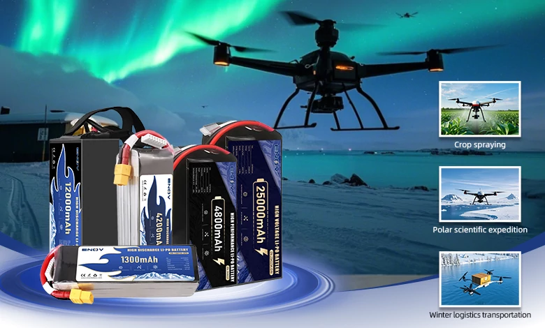
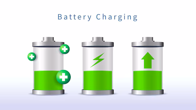
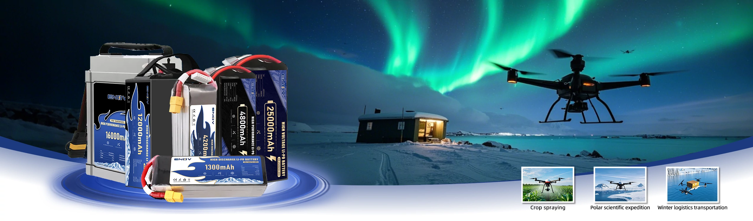
Drone Battery
ENOV High-Energy drone batteries power industrial and commercial drones. Delivering 220–320 Wh/kg energy density, they enable long flight times (30+ mins) and support fast charging (2C). Perfect for aerial photography, surveillance, and delivery drones.
1. Core Definition and Flight Principle of Fixed-Wing UAVs
(1) Core Definition
A fixed-wing Unmanned Aerial Vehicle (UAV) is an unmanned aerial vehicle. Its core feature is that it generates lift through rigidly fixed wings, rather than the rotating rotors of multi-rotor UAVs. It maintains continuous flight through forward movement and possesses excellent aerodynamic efficiency. It performs outstandingly in long-endurance and wide-area coverage missions, and is widely used in professional fields and some consumer scenarios.
(2) Flight Principle
Lift Generation Mechanism: Based on Bernoulli’s principle, the special cross-section of the wing (i.e., airfoil) creates a velocity difference when air flows over the upper and lower surfaces. The air flows faster over the upper surface, resulting in lower pressure, while the air flows more slowly over the lower surface, leading to higher pressure. This pressure difference is converted into the lift of the UAV, supporting it to fly in the air.
Force Balance Relationship: During flight, the UAV is primarily subjected to four forces, and these forces must be balanced to ensure stable flight.
Lift: Generated by the interaction between the wings and the airflow, it acts upward to counteract gravity.
Gravity: The force generated by the UAV’s own weight, acting downward.
Thrust: Provided by the power system (such as motors, engines, etc.), it acts forward to overcome drag.
Drag: The resistance force exerted by the air on the UAV during flight, acting backward.
Maneuvering Control Methods: The attitude and direction of the UAV are changed by adjusting different control surfaces of the fuselage. The core control actions and their corresponding control surfaces are as follows:
Roll: Rotation around the fuselage axis (left or right), controlled by the ailerons on the wings. When one aileron is raised, the other is lowered, causing the fuselage to tilt.
Pitch: To make the fuselage pitch up or down and control the flight altitude, controlled by the elevators on the horizontal stabilizer. When the elevator is raised, the fuselage pitches down and descends; conversely, when the elevator is lowered, the fuselage pitches up and ascends.
Yaw: Turning left or right around the vertical axis, controlled by the rudder on the vertical stabilizer. When the rudder deflects, the airflow generates a lateral force that pushes the fuselage to turn.
2. Key Components and Classification of Fixed-Wing UAVs
(1) Key Components
Airframe Structure: It includes fixed wings (which provide lift and come in various layouts, such as conventional, flying wing, and canard), a fuselage (which carries equipment and the power system), and a tail (comprising horizontal and vertical stabilizers for auxiliary stability and control). Some models are made of lightweight and high-strength materials such as foam and composite materials.
Power System: It is divided into electric (motor + battery, mostly used in small-sized models, featuring low noise and simple maintenance), fuel-powered (gasoline/diesel engine, suitable for large-sized models with long endurance and strong battery life), and hybrid (fuel engine + electric range extender, combining endurance and environmental protection). Some high-speed models adopt jet propulsion (such as turbofan engines).
Avionics System: It encompasses an autopilot system (supporting autonomous flight along a preset route to ensure flight stability), a GNSS positioning system (utilizing RTK/PPK technology to enhance positioning accuracy), and a data transmission module (enabling real-time data exchange between the UAV and the ground control station).
Take-off and Landing System: Depending on the model, it can be divided into taxiing take-off and landing devices (requiring a runway or an open flat ground), catapult devices (driven by compressed air or elastic force, suitable for scenarios without runways), parachute recovery systems (equipped with buffer airbags, mostly used in small-sized models), and vertical take-off and landing components (such as tilt rotors and lift fans, dedicated to hybrid models).
Mission Payload: It can carry various types of cameras (including RGB cameras, thermal imagers, multispectral cameras, and hyperspectral cameras), sensors (such as LiDAR and atmospheric monitoring sensors), and other equipment (including material delivery devices and reconnaissance equipment). The payload capacity ranges from several kilograms to dozens of kilograms, depending on the model size and the power system’s strength.
(2) Main Classification Methods
Classification by Size
Micro-sized: With a wingspan of less than 1 meter, it is lightweight and portable. It is mostly used for short-range reconnaissance, education, or hobbyist flying, such as the Strix Nano Goblin. It has an endurance of approximately 50 minutes and a low cost (about 500 US dollars).
Small and Medium-sized: With a wingspan of 1-5 meters, it strikes a balance between endurance and payload. It is suitable for agricultural monitoring, short-distance surveying, and mapping, such as the Volantex Firstar V2. It has a wingspan of 80 inches, an endurance of 1.5 hours, and a cost of approximately $ 1,250.
Large-sized: With a wingspan of more than 5 meters, some even exceed 30 meters (such as the “Global Hawk”). It has a long endurance (20-40 hours) and a large payload (up to more than 20 pounds). It is used for long-range reconnaissance, large-scale surveying and mapping, and national defense missions, such as the MyTwinDream 1.8-meter UAV, which costs approximately $ 2,200.
Classification by Take-off and Landing Method
Traditional Fixed-Wing: Requires taxiing or catapult take-off, and parachute landing or taxiing landing. It relies on a runway or a dedicated launch area, such as those used by the “Predator” and “Global Hawk”.
Hybrid Vertical Take-Off and Landing (VTOL) Fixed-Wing: Integrates rotors and fixed wings, enabling vertical take-off and landing without a runway while maintaining the advantage of long endurance, such as the “V-BAT”, “Rainbow-10”, and “Trinity Pro”.
3. Performance Characteristics of Fixed-Wing UAVs: Advantages and Limitations
(1) Core Advantages
Long Endurance and Long Range: It has high aerodynamic efficiency and low energy consumption. Electric models have an endurance of 2-8 hours, while fuel-powered models can reach 20-40 hours (such as the “Rainbow-5”). Some large-sized models have a range of more than 60 miles (about 96 kilometers), far exceeding that of multi-rotor UAVs (which usually have an endurance of 20-45 minutes and a short range). A single flight can cover an area of hundreds to thousands of acres.
High Speed and Large Payload: The cruising speed typically ranges from 100 to 300 km/h (as seen in the “Wing Loong-2”), with some high-speed models even exceeding this speed. It can carry heavy equipment, such as synthetic aperture radar, LiDAR, and high-resolution cameras. Its payload capacity is far greater than that of multi-rotor UAVs (usually less than 5 kg), meeting the needs of complex missions.
Strong Environmental Adaptability: Its aerodynamic design enables it to have better stability under strong wind conditions, offsetting the interference of gusts and maintaining the preset flight path. It is suitable for operations in complex outdoor environments (such as high altitudes and remote areas), such as meteorological monitoring and disaster assessment.
Cost-Effectiveness: It has high energy efficiency and covers a large area in a single flight, reducing the number of missions and operating costs. Especially in fields such as large-scale surveying and mapping, as well as agricultural monitoring, it can significantly reduce the time and labor input.
Convenient Operation (Autonomy): Most are equipped with advanced autopilot systems, which can perform autonomous flight along a preset route without continuous manual control. Operators can focus on data collection and analysis, thereby simplifying operations.
(2) Main Limitations
Take-off and Landing Restrictions: Traditional models require a runway, catapult device, or other dedicated sites for take-off and landing, and cannot take off or land in narrow or complex terrains (such as between urban buildings and mountainous areas). Although VTOL models solve this problem, they have complex technology and higher costs.
No Hovering Capability: Traditional fixed-wing UAVs need to move forward continuously to maintain lift and cannot hover in place, making it difficult to complete close-range precision operations (such as close-range inspections and precise delivery). Although VTOL models can hover briefly, their endurance is shorter than that of traditional fixed-wing UAVs.
Cost and Maintenance: Large-sized or high-end models (such as those with advanced sensors and VTOL functions) have high costs (ranging from thousands to hundreds of thousands of US dollars). The maintenance requirements of fuel-powered models are higher than those of electric multi-rotor UAVs, and the operation threshold is relatively high, requiring professional personnel training.
Weak Maneuverability: Compared with multi-rotor UAVs, actions such as turning and adjusting the attitude are more complex, and the flexibility in narrow spaces is insufficient, making it difficult to deal with sudden obstacles (although AI obstacle avoidance technology is gradually improving, it still needs to be enhanced).
4. Typical Application Scenarios of Fixed-Wing UAVs
(1) Military Field
Reconnaissance and Intelligence Collection: Equipped with high-definition cameras, radars, and other equipment, it can perform long-term high-altitude patrols to obtain intelligence such as enemy positions and troop deployments, such as the RQ-4 “Global Hawk”, which has an endurance of more than 30 hours and can remotely monitor a wide range of areas.
Strike and Combat Support: Some models, such as the MQ-9 “Reaper”, can carry weapons to perform precision strike missions. They can also be used for electronic warfare to interfere with the enemy’s communication and radar systems.
Target Drone and Training: They simulate enemy aircraft to provide training targets for air defense forces and pilots, improving their combat capabilities.
(2) Civilian Field
Surveying and Mapping and Geographic Information: Equipped with RGB cameras and LiDAR sensors, it can quickly generate high-resolution maps, digital surface models, and orthophotos for urban planning, land surveying, and topographic mapping, such as the “Jouav CW-30” and “Trinity Pro”, which can cover hundreds of square kilometers in a single day.
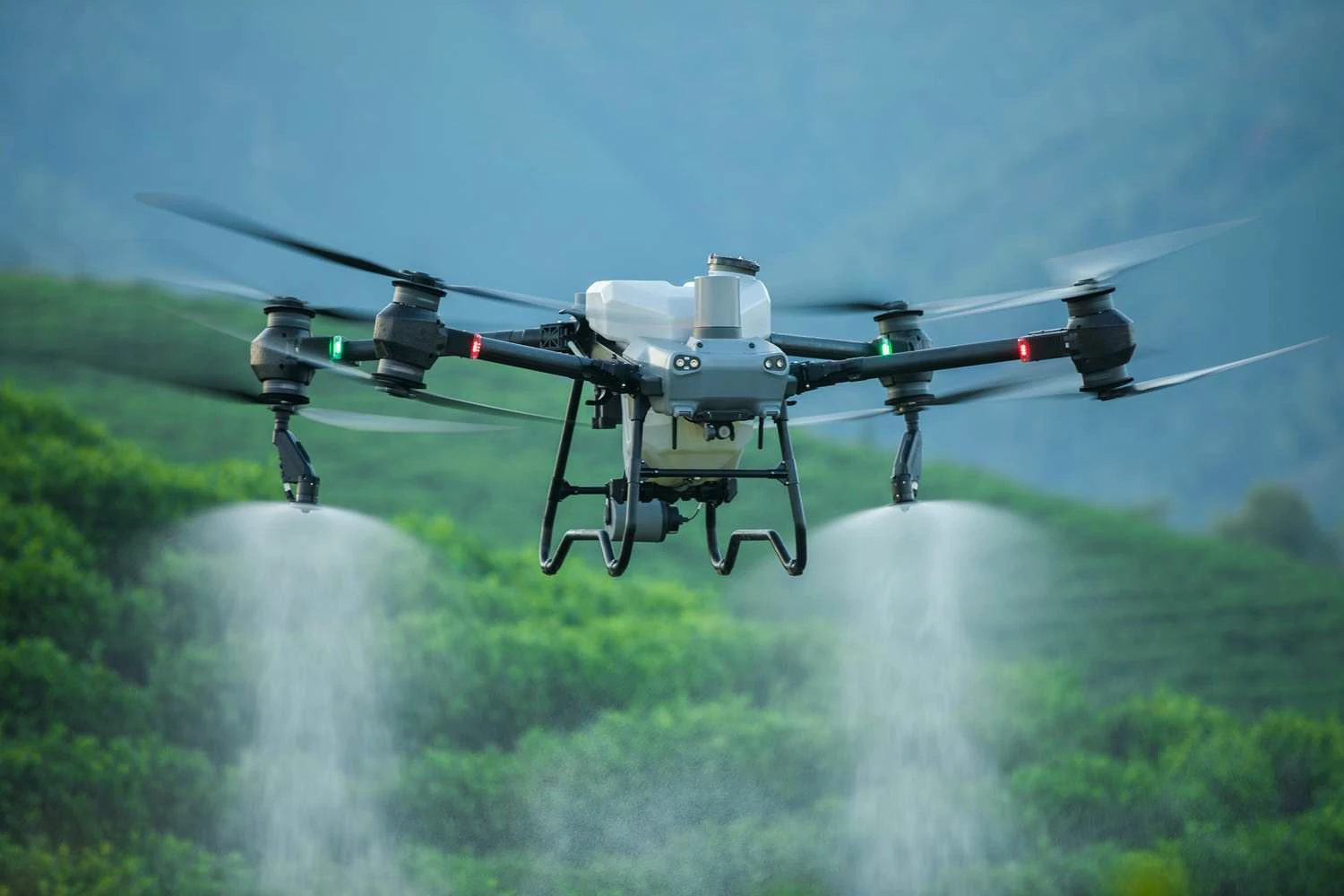
Agriculture and Precision Agriculture: Equipped with multispectral imagers and thermal imagers, it can monitor crop health (identifying diseases, pests, and nutrient deficiencies), soil moisture, and irrigation conditions, and optimize fertilization and irrigation plans. Some models can be used for pesticide spraying, covering large areas of farmland and improving agricultural efficiency.
Infrastructure Inspection: It inspects long-distance linear infrastructure, such as power lines (detecting line damage and overheating), oil pipelines (locating leaks and structural defects), and roads and bridges (evaluating structural integrity and planning maintenance), reducing the risks and costs of manual inspection, such as the fixed-wing version of the “DJI M300 RTK”.
Environmental Monitoring and Protection: It tracks wildlife populations and migration routes, monitors deforestation (identifying illegal logging), evaluates the health of wetland and coastal ecosystems, and collects atmospheric data (for meteorological research and climate change analysis), such as NASA’s “Global Hawk” used for hurricane research.
Emergency and Search and Rescue: Following disasters (such as earthquakes, floods, and fires), it quickly assesses the affected areas and generates images for rescue teams to formulate effective plans. Equipped with a thermal imager, it searches for missing persons in remote areas and dense forests, offering a wide coverage range and high efficiency that shortens rescue time.
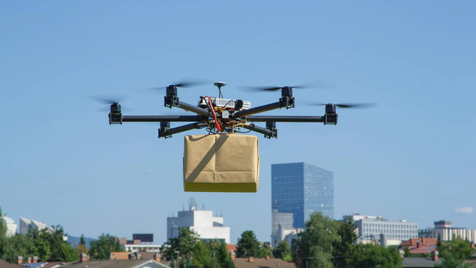
Scientific Research and Logistics: In the field of scientific research, it is used for atmospheric monitoring, glacier research, and wildlife tracking. In the logistics field, it can transport materials (such as medical supplies and food) to remote areas, solving the problem of inconvenient transportation.
(3) Other Fields
Archaeology and Cultural Heritage Protection: Aerial photography records large archaeological sites without interfering with the ground environment, analyzes the layout of the sites, and discovers potential excavation areas, contributing to the research and protection of cultural heritage.
Commercial and Entertainment: It is used for aerial shooting of large-scale events (such as concerts and sports games) and advertising promotion. Hobbyists use it for flight experience and aerial photography (mostly micro-sized or small and medium-sized models).
5. Selection Guide for Fixed-Wing UAVs
(1) Clarify Mission Requirements
Application Scenario Positioning: For large-scale surveying and mapping, long-range monitoring, and national defense missions, traditional large-sized fixed-wing UAVs (with long endurance and large payload) are preferred; for urban operations and missions in complex terrains (without runways), VTOL fixed-wing UAVs are selected; for education and short-range reconnaissance, micro-sized or small and medium-sized models are chosen.
Performance Requirement Determination: Determine the power type (electric/fuel-powered/hybrid) according to the endurance time and coverage area required for the mission; determine the payload type according to the data collection needs (for example, LiDAR/RGB cameras for surveying and mapping, multispectral cameras for agriculture, and thermal imagers for search and rescue).
(2) Evaluation of Core Performance Parameters
Endurance and Range: Ensure that the endurance time meets the mission duration and the range covers the operational area to minimize the frequency of take-offs and landings, thereby enhancing efficiency. For example, to cover an area of 700 hectares in a single day, the Trinity Pro (with an endurance of 90 minutes) can be selected.
Payload Compatibility and Capacity: Verify that the UAV’s payload weight and interface are compatible with the selected equipment to prevent reduced endurance or unstable flight due to excessive payload. For example, to carry LiDAR, a model with a payload capacity of more than 5 kg should be selected.
Accuracy and Stability: For surveying and mapping and precision monitoring missions, models equipped with RTK/PPK GNSS systems should be selected to ensure positioning accuracy; for outdoor operations, attention should be paid to wind resistance (such as being able to withstand winds above level 6) to provide flight stability.
Durability and Weather Resistance: For operations in complex outdoor environments (high temperatures, low temperatures, high humidity, and dust), industrial-grade models with weatherproof designs should be selected, such as the JOUAV CW-25E, to ensure the reliable operation of the equipment.
(3) Other Key Factors
Operation and Maintenance: For beginners or small-scale operations, models with simple operation, automatic take-off and landing, and easy-to-use software are selected; considering maintenance costs, electric models are simpler to maintain than fuel-powered models, making them suitable for users with limited budgets.
Cost and Budget: Select according to the budget range. Entry-level micro-sized models cost approximately $ 500-$ 1,500, small and medium-sized commercial models cost $ 1,250-$ 5,000, and large-sized high-end models (including advanced sensors) cost more than $ 10,000, or even hundreds of thousands of dollars.
Software and Ecosystem: Select models that are seamlessly integrated with flight planning and data post-processing software, supporting real-time data transmission, AI analysis, and GIS applications, to simplify workflows and enhance data utilization.
(4) Recommendations for Camera and Sensor Selection
RGB Cameras: Used for high-resolution aerial photography, surveying and mapping, and visual inspection, such as creating orthophotos and on-site records. The Sony ILX-LR1 and Phase One P5 are recommended for urban planning and building progress monitoring.
Thermal Imagers: Detect thermal signals and are used for searching for missing persons, detecting building energy leaks, evaluating crop health, and identifying overheating of power lines. They are suitable for search and rescue operations, utility inspections, and agricultural applications.
Multispectral Cameras: Capture multiple spectral bands to analyze plant health, soil composition, and moisture content. They are primarily used in precision agriculture to optimize irrigation and fertilization, as well as to detect diseases and pests.
Hyperspectral Cameras: With higher spectral resolution, they capture hundreds of narrow spectral bands. They are used for detailed material analysis and substance identification, and are suitable for environmental monitoring, mineral exploration, and vegetation classification.
LiDAR Sensors: Not cameras, but devices that measure distances through laser beams to generate high-precision 3D terrain or object models. They are suitable for topographic mapping, urban planning, and vegetation modeling, and excel at capturing hidden ground details.
Oblique Cameras: Capture images at an angle to provide depth and wide-angle views. They are used for 3D mapping, urban planning, and building modeling to supplement the limitations of vertical photography.
When making a selection, it is necessary to consider the mission requirements (e.g., multispectral cameras for agriculture, LiDAR/RGB cameras for surveying and mapping), the UAV’s payload capacity, environmental adaptability (such as weather resistance), and software compatibility to ensure the coordinated operation of the equipment.
Quick inquiry
Drop us a line, and we’ll get back to you within 24 hours.

Ariana Yuan
Digital Operations Manager
Website Planning|Marketing Project Management for Drone Batteries|Scheduled Content Refresh|SEO Optimization
Ariana Yuan
Digital Operations Manager
Website Planning|Marketing Project Management for Drone Batteries|Scheduled Content Refresh|SEO Optimization