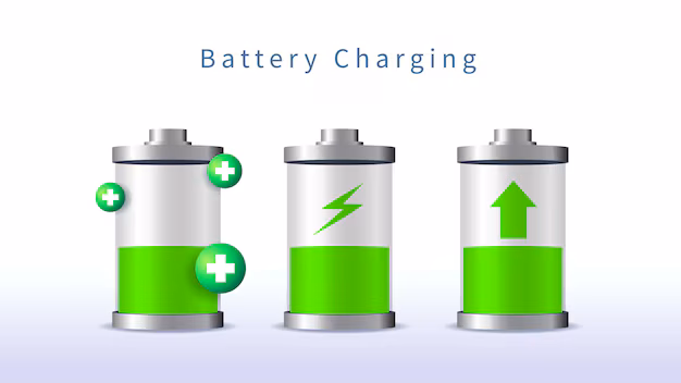
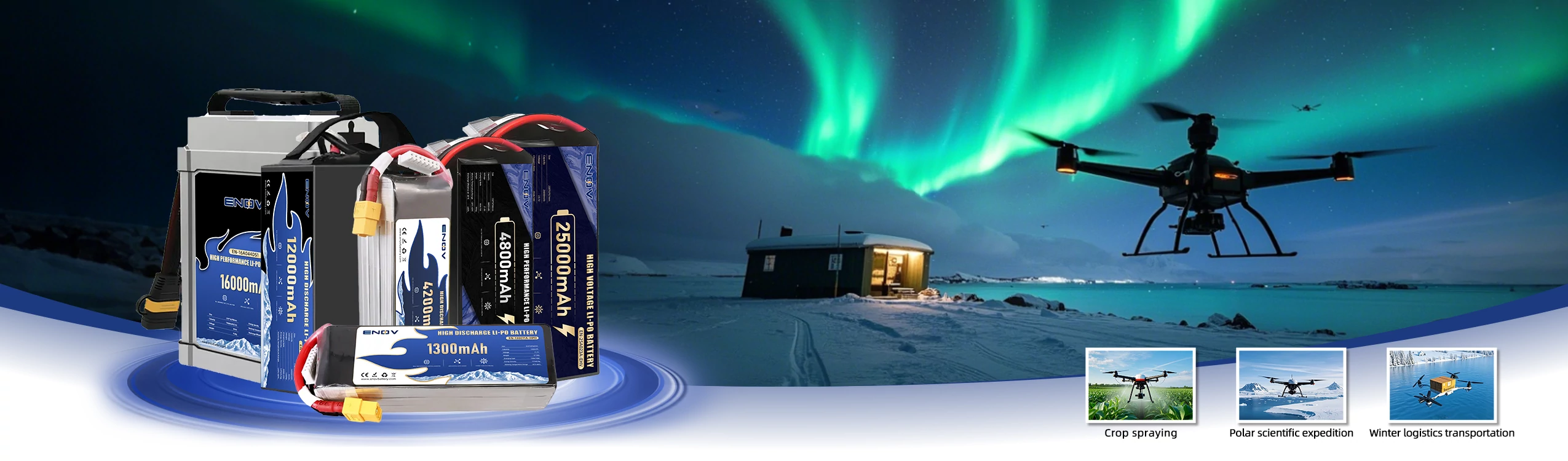
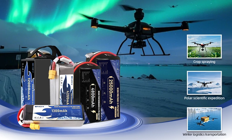
Drone Battery
ENOV High-Energy drone batteries power industrial and commercial drones. Delivering 220–320 Wh/kg energy density, they enable long flight times (30+ mins) and support fast charging (2C). Perfect for aerial photography, surveillance, and delivery drones.
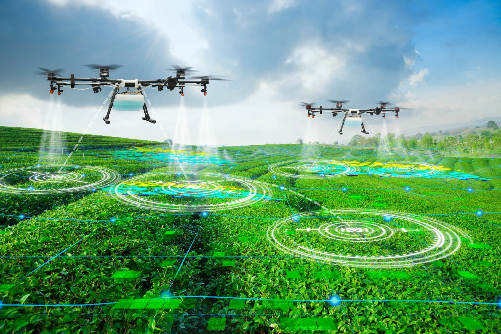
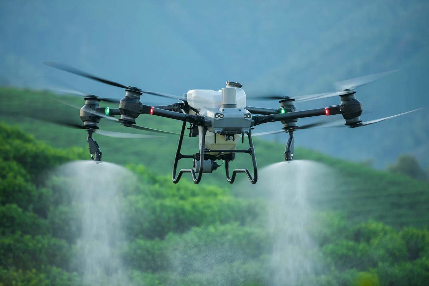
Agriculture:
UAVs can be equipped with spraying equipment for precise spraying of pesticides and fertilizers, carry sensors to monitor crop health and pests; they can also conduct topographic mapping through lidar to assist agricultural planning.
Comparison with traditional tools: Traditional manual spraying is inefficient, costly, and uneven. UAVs can increase efficiency by 5 - 10 times and reduce pesticide use by more than 30%; traditional mapping requires manual field measurement, which is time-consuming and has limited coverage. UAVs can complete data collection of thousands of mu of farmland within a few hours.
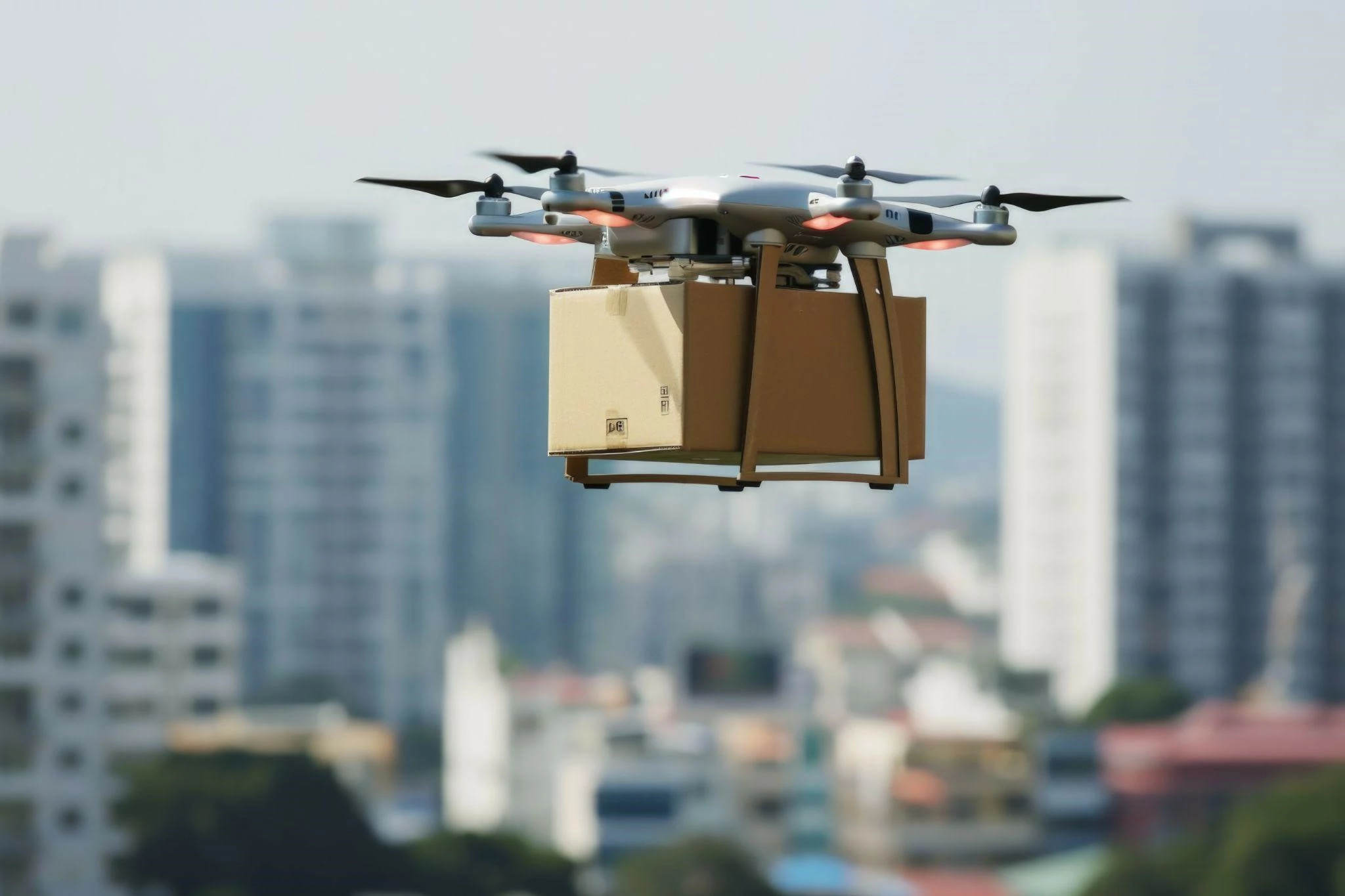
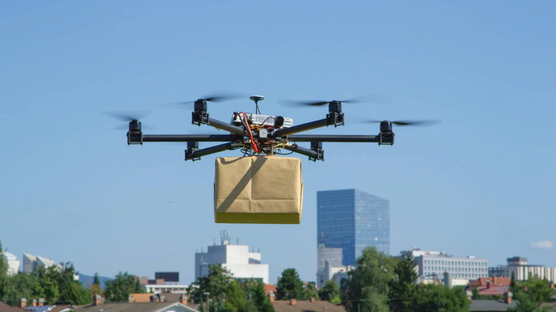
Logistics and Transportation:
In remote areas or disaster areas, UAVs can deliver express delivery, medicines, vaccines, etc.; UAVs in warehouses can also be used for inventory counting.
Comparison with traditional tools: Traditional express delivery in remote areas relies on cars or human resources, which is time-consuming and limited by terrain. UAVs can cross terrain obstacles and shorten the transportation time by more than 50%; manual warehouse inventory counting requires a lot of manpower and time, while UAVs can automatically scan shelves, with the accuracy increased to more than 95%.
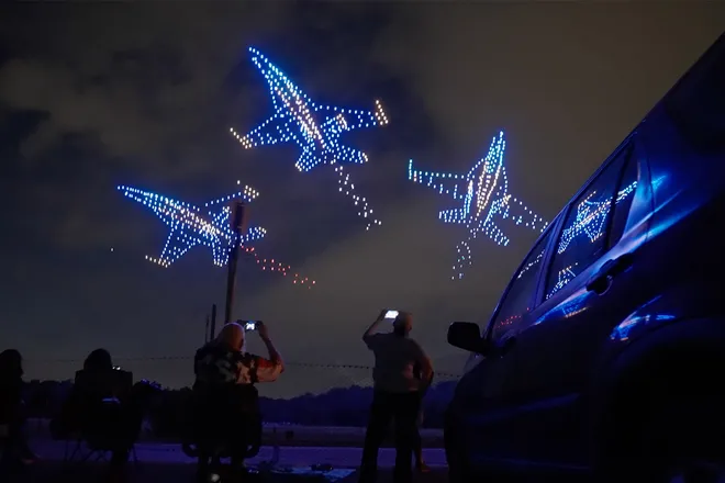
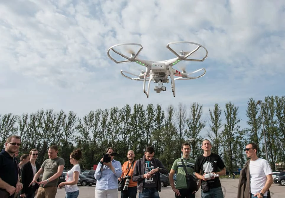
Media and Entertainment:
UAVs can carry out high - altitude aerial photography, providing unique perspectives for movies, documentaries, weddings, etc.; they can also live broadcast sports events in real time to capture dynamic pictures.
Comparison with traditional tools: Traditional aerial photography relies on helicopters, which are costly (tens of thousands of yuan per hour) and complicated to operate. UAVs cost only 1/10 of that, and can fly flexibly in narrow spaces to capture more delicate shots.
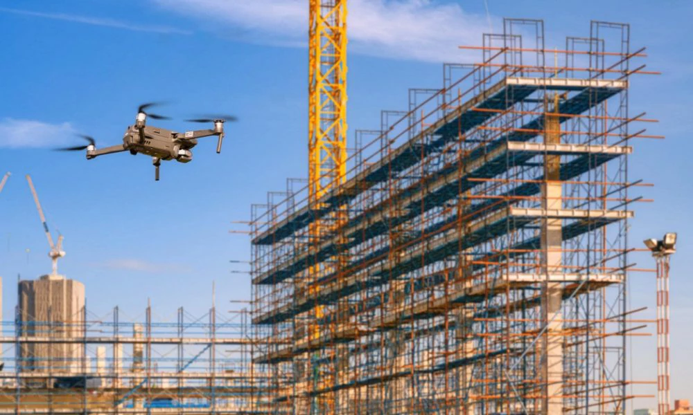
Construction and Engineering:
UAVs can conduct 3D modeling of construction sites, monitor construction progress, and detect cracks in bridges and tunnels through lidar.
Comparison with traditional tools: Traditional construction site surveying and mapping requires manual use of total stations, and a 10,000 - square - meter site takes 1 - 2 days, while UAVs only take 1 - 2 hours, and the data is more accurate; traditional bridge inspection requires scaffolding or manual climbing, which is time - consuming and dangerous. UAVs can directly fly to high places to take detailed photos, reducing the risk of accidents.
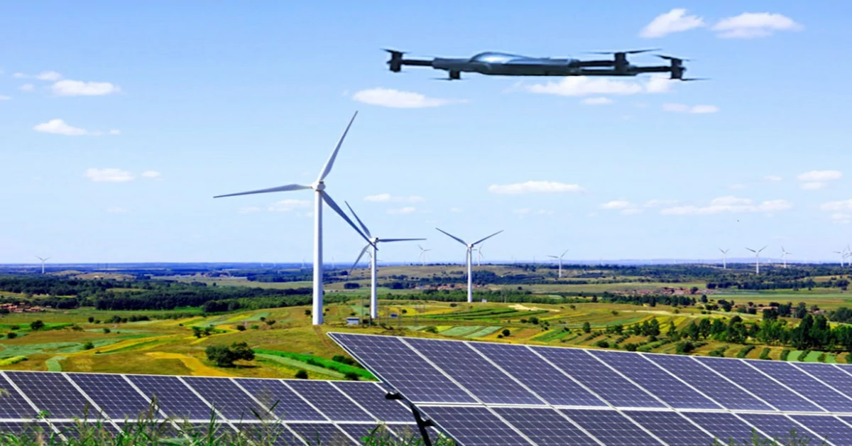
Energy Industry:
UAVs can cruise along power lines to detect line faults; conduct thermal imaging inspections on wind turbine blades and solar panels to identify damage or hot spots.
Comparison with traditional tools: Traditional power inspection relies on manual tower climbing, which can only inspect 10 kilometers of lines per day, and there is a risk of falling from high altitudes. UAVs can inspect more than 50 kilometers per day and can operate in severe weather such as thunderstorms; traditional solar panel inspection requires manual inspection one by one, while UAVs can quickly locate faulty panels through thermal imagers, improving efficiency by 80%.
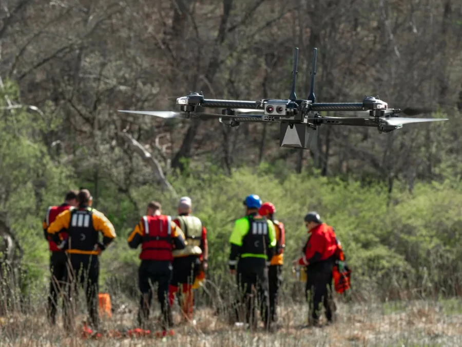
Search and Rescue and Disaster Management:
Equipped with infrared cameras, UAVs can quickly locate missing persons in disasters such as earthquakes and forest fires; they can also deliver food and medicines to trapped areas, assess the disaster situation and draw 3D maps.
Comparison with traditional tools: Traditional search and rescue relies on human resources and police dogs, which can only cover a few square kilometers in complex terrain in a day. With thermal imaging, UAVs can cover dozens of square kilometers and can operate at night; traditional disaster assessment needs to wait for roads to be opened, while UAVs can provide real - time images within 1 hour after the disaster, saving key time for rescue decisions.
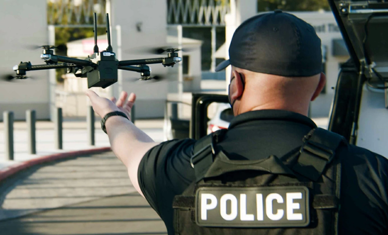
Law Enforcement and Security:
UAVs can be used for border patrols to monitor illegal entry; real - time monitoring of crowds in large - scale events to prevent stampedes or conflicts.
Comparison with traditional tools: Traditional border patrols rely on vehicles and walking, with monitoring blind spots. UAVs can cruise 24 hours a day, expanding the coverage by 3 - 5 times; manual monitoring of large - scale events requires a large number of police forces to be distributed on site, while UAVs can observe from a high - altitude overall perspective and detect abnormal situations in advance.
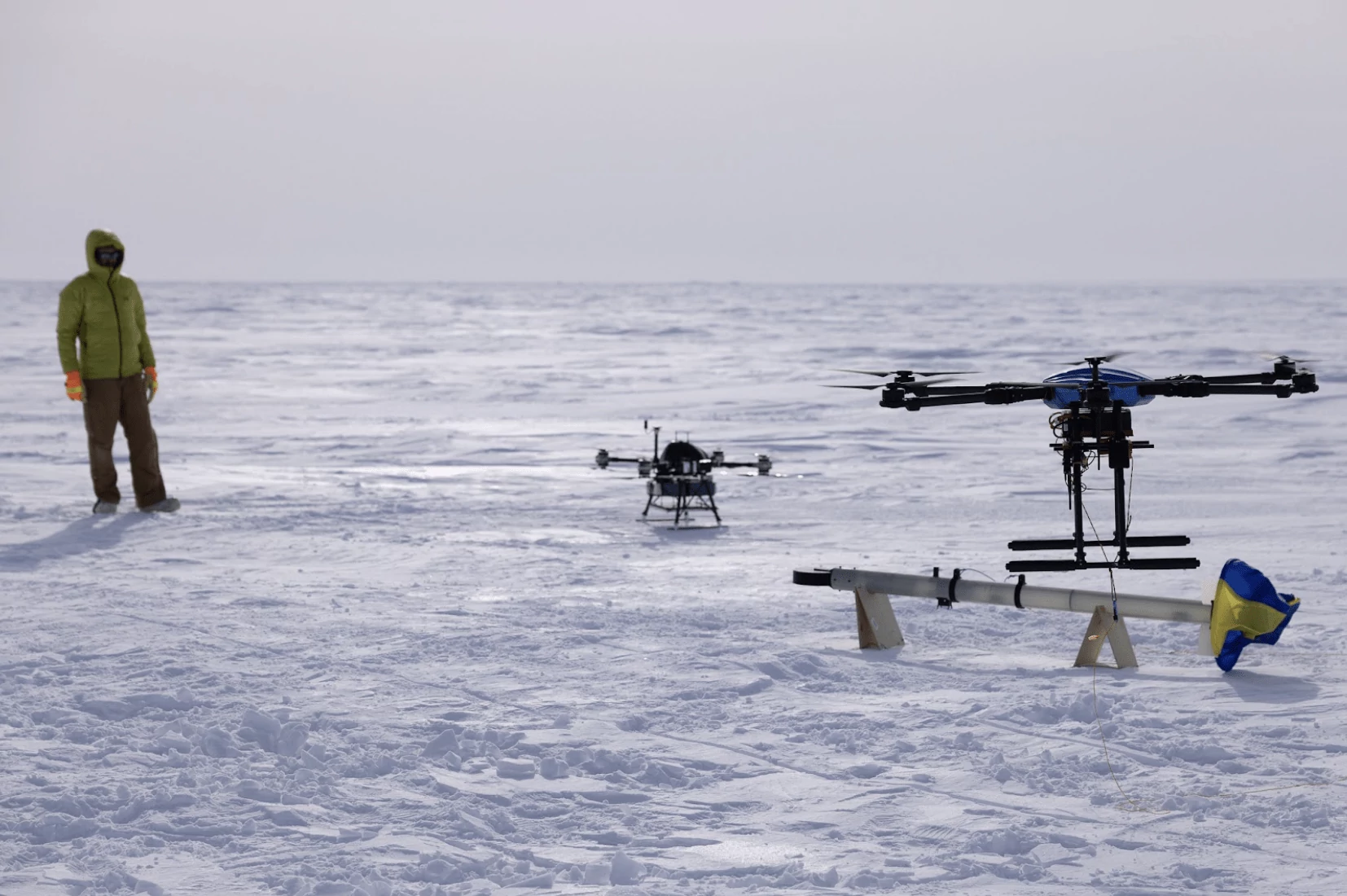
Scientific Research:
UAVs can go deep into the polar regions to monitor glacier changes, enter volcanic areas to collect gas samples, and track whale migration over the ocean.
Comparison with traditional tools: Traditional polar scientific expeditions rely on icebreakers, which are costly and difficult to reach inland glaciers. UAVs can carry lightweight sensors to obtain more detailed data; in volcanic research, manual access is life - threatening, while UAVs can detect at close range and collect data more frequently.
Education Field:
Colleges and universities use UAVs to carry out practical training in aerial remote sensing and artificial intelligence courses; primary and secondary schools carry out science popularization education through model aircraft competitions and UAV performances.
Comparison with traditional tools: Traditional aviation teaching relies on books and simulators. UAVs allow students to operate by themselves, intuitively understand the flight principles and data collection process, and enhance learning interest.
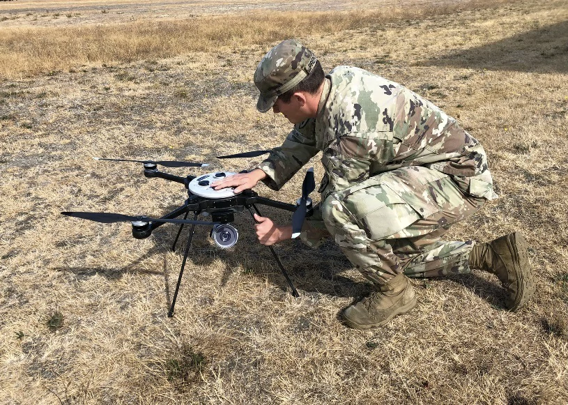
Military Field:
UAVs can conduct high - altitude and long - endurance reconnaissance, transmit battlefield images in real time; carry missiles to perform precise strikes, or form "swarms" for coordinated operations; they can also transport ammunition, food and other materials to the front line.
Comparison with traditional tools: Traditional reconnaissance relies on manned aircraft, with the risk of pilot casualties. UAVs can stay in dangerous areas for a long time; traditional material transportation requires trucks or helicopters, which are vulnerable to attacks. UAVs have small targets and high flexibility, so they have stronger survivability.

Ariana Yuan
Digital Operations Manager
Website Planning|Marketing Project Management for Drone Batteries|Scheduled Content Refresh|SEO Optimization