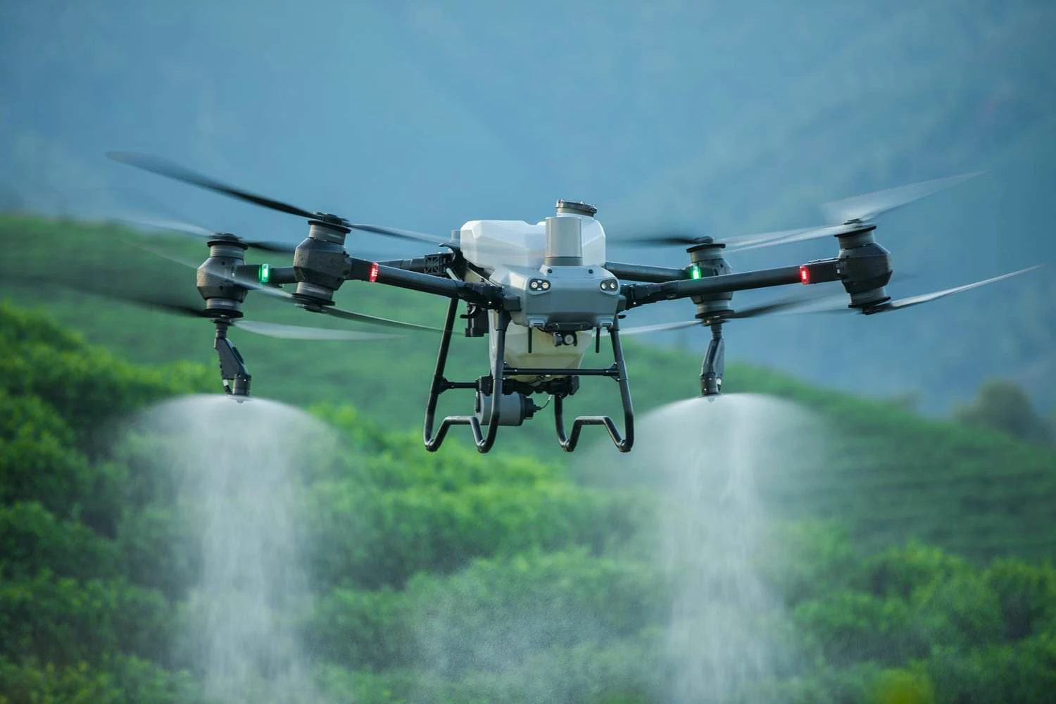
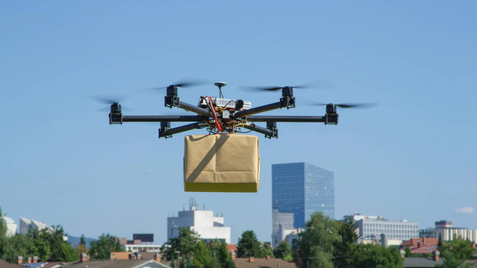
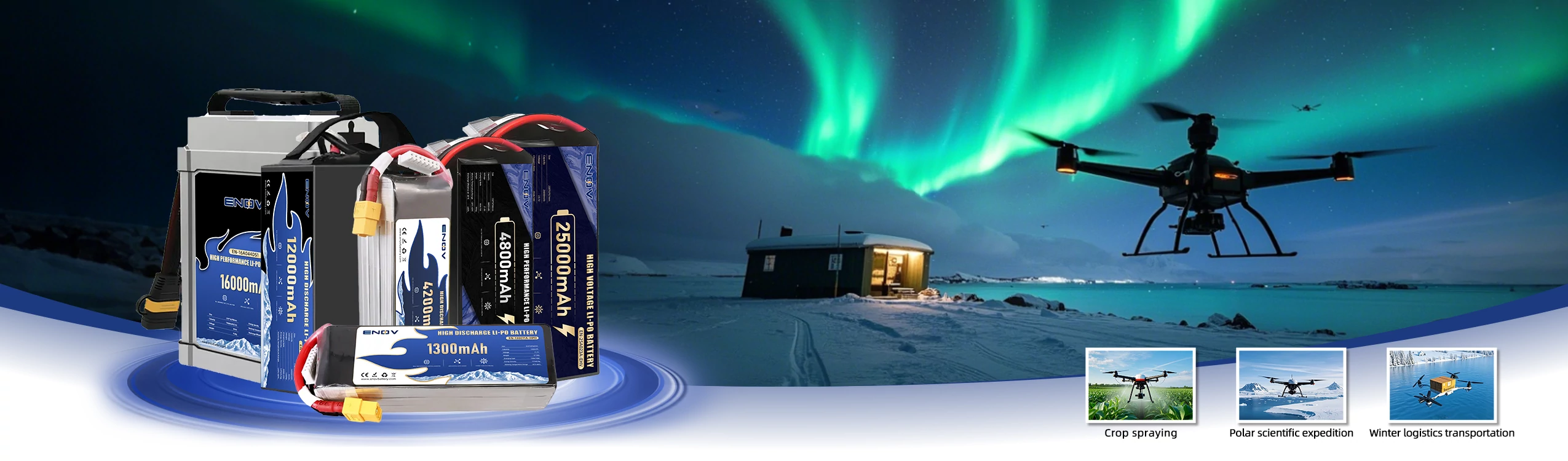
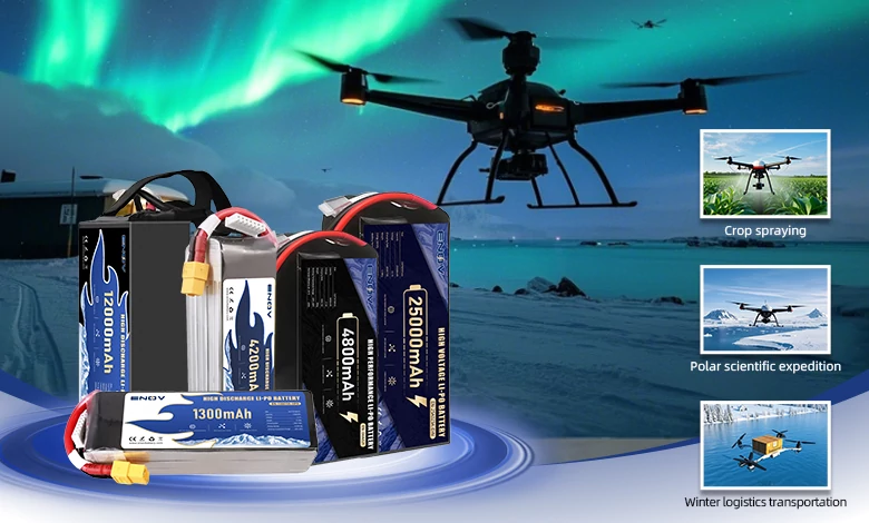
• +8613392026914
  • info@enovbattery.com
  • China

Analysis of UAV Applications in Search and Rescue and Disaster Management

Drone Battery

ENOV High-Energy drone batteries power industrial and commercial drones. Delivering 220–320 Wh/kg energy density, they enable long flight times (30+ mins) and support fast charging (2C). Perfect for aerial photography, surveillance, and delivery drones.

I. Application Value

In the fields of search and rescue (SAR) and disaster management, UAVs (Unmanned Aerial Vehicles) have significantly enhanced emergency response efficiency through technological empowerment. Their core value is reflected in four dimensions:

1. Risk Isolation and Personnel Safety

UAVs replace rescue personnel in highrisk environments, such as postearthquake rubble, fire zones, nuclear radiation areas, and hazardous chemical spill sites, fundamentally reducing the risk of secondary casualties. For example, during the Fukushima nuclear disaster, UAVs were deployed for radiation detection and damage assessment, preventing direct human exposure to hazardous conditions.

2. Response Speed and Efficiency Improvement

Compared to traditional helicopters, which require complex airspace authorization and equipment preparation, UAVs can be deployed within 10–30 minutes and complete tasks equivalent to a ground team’s one-day workload in under an hour. During the 2021 Henan floods in China, UAVs mapped disaster-affected areas in just six hours—a task that would have taken traditional teams three days to complete—providing critical time for rescue coordination.

3. Cost Optimization and Resource Efficiency

A single multirotor UAV costs approximately $110,000, far less than the millions required for a helicopter. Additionally, the operational cost per mission is under $500, compared to over $2,000 per hour for helicopters. The multifunctional capabilities of UAVs (reconnaissance, communication, delivery, etc.) further reduce overall equipment investment.

4. All-Terrain Coverage and Information Penetration

UAVs are unaffected by road blockages, river barriers, or other terrain challenges, enabling access to remote areas such as canyons, dense forests, and rubble. Equipped with thermal imaging and infrared sensors, they can penetrate smoke, darkness, and other obstructions, ensuring allweather, allscenario data collection.

II. Specific Operational Scenarios: FullCycle Coverage from Pre to Post-Disaster

1. Pre-Disaster Prevention and Preparedness

Fixed-wing UAVs conduct preemptive scans of high-risk zones, generating high-precision Digital Elevation Models (DEMs) to support flood simulation and landslide prediction.

 Tethered UAV base stations are predeployed in disaster-prone areas to ensure rapid activation of emergency communication or lighting post-disaster.

2. Disaster Response and Search & Rescue

WideArea Reconnaissance: Fixed-wing or VTOL (Vertical TakeOff and Landing) UAVs quickly survey disaster zones, capturing panoramic imagery with wide-angle lenses. AI algorithms then mark critical information, such as collapsed buildings or fire spread paths. For instance, during the Hawaii wildfires, UAVs provided real-time updates of fire progression maps, completing damage assessments for tens of thousands of square kilometers within 12 hours.

② Life Detection: Multirotor UAVs equipped with thermal imaging cameras detect human heat signatures in rubble or forests, while microphone arrays pick up faint distress calls, achieving positioning accuracy within 1 meter. This method successfully located over 200 survivors during the Turkey earthquake.

③ Emergency Communication and Lighting: Tethered UAVs carrying 4G/5G microbase stations hover at 50 meters, providing signal coverage within a 3 km radius. Alternatively, 1000W LED arrays illuminate 6,000 m² of ground area, addressing communication blackouts and nighttime search challenges. China Mobile restored critical communications in Henan using this technology.

 Supply Delivery: Heavylift multirotor or unmanned helicopters deliver supplies (food, medicine, life jackets) to precise locations. Swarm UAVs adopt parallel delivery modes, reducing delivery time by over 60%. For example, waterproof UAVs airdropped 50+ lifesaving kits to isolated islands during the Nepal floods.

3. Post-Disaster Assessment and Recovery

① 3D Modeling and Damage Assessment: Using oblique photogrammetry, UAVs generate centimeter-accurate 3D models of disaster zones in 15 minutes. Comparing these with pre-disaster data enables rapid quantification of losses (e.g., destroyed homes, flooded farmland) for insurance claims and reconstruction planning.

② Epidemic Control and Environmental Monitoring: Modified agricultural UAVs spray disinfectants over 150 acres per hour. Multispectral sensors detect soil and water pollution levels, aiding environmental remediation efforts.

III. Strengths and Limitations

Strengths

① Mobility and Flexibility: Multirotors excel in vertical takeoff, hovering, and navigating tight spaces (e.g., urban rubble), while fixed wings cover large areas at 50–150 km/h.

② MultiDimensional Data: Integrated tools (wide-angle/zoom lenses, thermal imaging, gas sensors) enable “visual + infrared + environmental” data fusion.

③ Mission Versatility: A single platform can switch between reconnaissance, communication, and delivery, minimizing equipment load and boosting onsite efficiency.

Limitations

① Environmental Constraints: Heavy rain, fog, or winds above 8 on the Beaufort scale may cause control failures or imaging blur. High-voltage lines and dense forests pose collision risks.

② Battery Life and Payload Limits: Electric multirotors typically operate for 20–45 minutes, requiring frequent battery swaps. Most civilian models carry 10–30 kg, limiting large equipment delivery.

③ Regulatory and Skill Barriers: Many regions impose a 120-meter altitude cap, with beyond-visual-line-of-sight (BVLOS) flights needing exemptions. Complex missions demand certified pilots and specialized software, with communications vulnerable to terrain blockage.

④ Data Processing Demands: A single mission can generate tens of gigabytes of data, necessitating AI-powered rapid stitching and analysis to avoid decision-making delays.

IV. Drone Types and Applications

Drone Type Key Features Applications
Multirotor Drones
Vertical takeoff/landing, stable hovering, easy operation, high maneuverability
Urban rubble searches, shortrange fire monitoring, small supply drops (e.g., firstaid kits)
Fixed-Wing Drones
Long endurance (16+ hours), high speed, large area coverage
Postflood/earthquake damage assessment, long-range mountain/maritime SAR
VTOL Fixed-Wing
Combines multirotor agility with fixed-wing efficiency; 2–8 hours endurance, 100+ km range
Complex terrain (mountains, canyons) surveys, cross-region communication relay
Tethered Drones
Ground-powered for 24/7 flight, limited by cable length (<100 m)
Prolonged disaster monitoring, fixed-area communication/lighting
Special-Payload Drones
Waterproof/explosionproof designs for extreme environments
Flood/maritime rescues, postexplosion inspections in hazardous zones
Micro/Swarm UAVs
Compact size, stealth, multipoint coordination
Confined-space reconnaissance (e.g., caves, collapsed buildings), swarm deliveries

V. Future Directions

① Battery and Power Innovations: Hydrogen fuel cells may extend flight times beyond 2 hours; midair charging could eliminate battery swap delays.

② Autonomy and AI Integration: AI-driven obstacle avoidance and human detection (e.g., Skydio X10’s NightSense) enable GPS-free autonomous searches.

③ Swarm Coordination: UAV clusters sharing data can conduct synchronized wide-area reconnaissance, multiplying efficiency for large-scale disasters.

④ Specialized Equipment: SAR-specific models with radio signal locators will improve life detection accuracy in complex environments.


UAVs have evolved from “support tools” to “core assets” in SAR and disaster management. Their value lies not only in technology but also in reshaping emergency response systems through “air-ground” collaboration. With ongoing advancements and policy refinements, their role in complex scenarios will continue to expand in depth and scope.

UAV Drone Battery

UAV Drone Battery

Quick inquiry

Drop us a line, and we’ll get back to you within 24 hours.

Name